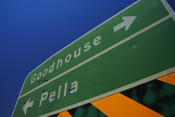
 Day 3 : Another cloudless day dawned and we rose early for a quick swim in the river, breakfast and a Bloody Mary to kick the liver into action. After breaking camp we headed west down the Orange river valley from Pella towards Goodhope, following the gentle westward flow of the river.
The Orange river is the longest river in South Africa. It rises in the Drakensberg mountains along the border between South Africa and Lesotho, about 193 km (120 mi) west of the Indian Ocean and at an altitude of over 3,000 m. While in Lesotho, the river is known as the Senqu and parts of it freeze in winter, because of the high altitude there.
The river then runs westwards through South Africa, forming the south-western boundary of the Free State province. In this section the river flows into first the Gariep Dam (the largest in the country), and on to the Vanderkloof Dam. From the border of Lesotho to below the Van der Kloof Dam the river bed is deeply incised. Further downstream the land is flatter, and the river is used extensively for irrigation.
At the western point of the Free State, southwest of Kimberley, the Orange meets with its main tributary, the Vaal River, which itself forms much of the northern border of the province. From here the river flows further westwards through the arid wilderness of the southern Kalahari region and Namaqualand in the Northern Cape Province to meet with Namibia at the 20th degree of east longitude. From here it flows westwards for 550 km, forming the international border between the province and Namibia’s Karas Region.
This is the section down which we traveled, just south of the river through the broken mountains that trap it on its relentless course to the icy Atlantic. Mostly arid, with scrub land, it supports a variety of hardy farmers who range between semi-nomadic pastorals to established irrigated plantations.
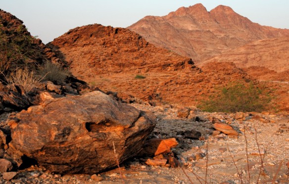
 The rocky terrain is randomly broken by dry river beds, some just meters across, others up to 100m from side to side. These streams only ever flow during the sporadic storms that fall in the surrounding hills and mountains.
Fortunately for us, the last one had happened over a year and a half before…not so happily for the local inhabitants, though.
The trail eventually leaves the river valley and climbs into the surrounding hills and onto the flat, almost unbroken lands that spread for kilometers in all directions.

 Like all thirsty travellers, we stopped regularly to refuel our mugs so that we did not succumb to the dusty and arid air. The average speed is reduced to 20-30 km/h due to the rugged terrain – which leads to lots of enjoyable and challenging sections. And lots of pit stops!

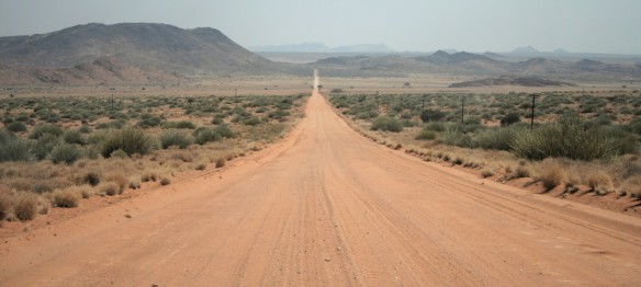 After breaking through the hills, the trail runs westward for a few kilometers before cutting back over the mountains and into the Orange river valley.
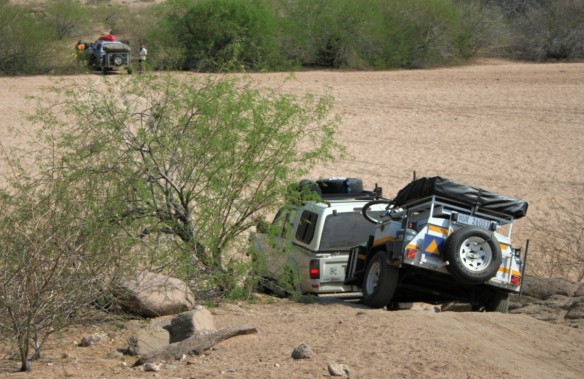
Another short break for some running repairs to one of the trailers before heading back down to the river where we encountered drifts of extremely fine dust. Its consistency was similar to that of powdered cement and proved to be a challenging test of the drivers skills.
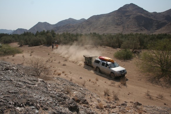 Unfortunately, the powder was so fine that by the time the fourth vehicle came through, the wheels of the previous bakkies (trucks) had cut so deep that the final bakkie ended by wedging itself on the middle ridge.
 A little bit of judicious digging and a short tow and all vehicles were once again on their way. This being one of those times we realised we had followed the wrong track we turned around and retraced our steps – thus, once again, living up to our mantra – “Go There, Come Back”.
Half an hour later we found the correct notch in the hills and drove down into a little piece of paradise nestled beside the river and in the shadow of the hills.
 Naturally, we had to wash the dust off – inside and outside…
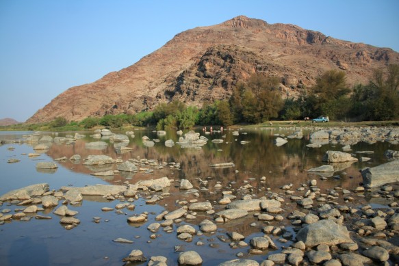
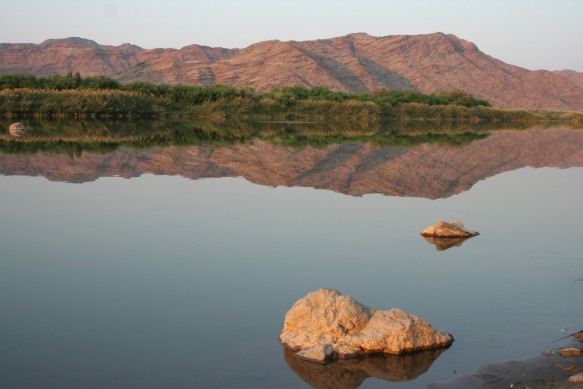 As the afternoon slowly slid into evening, we pitched camp and our erstwhile (self appointed) chef, AG, set to work with help from his sous chef, Dr Bill.

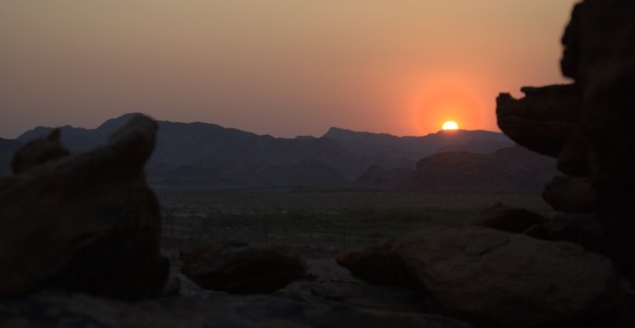
 After the sun set and the stomachs were quietened down by an avalanche a seriously good grub, the night degenerated into a slothful lounging around the campfire.
Where we didn’t have anything else to drink.
At all.
Mmmm

